geos:kavdi:oberflaeche:kavdi_schnittstellen:schnittstellen-kataster-alkis-nas-export
Medien-Manager
Namensräume
Namensraum wählen
Datei
- Anzeigen
- Verlauf
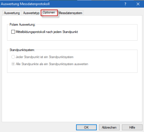
Versionsverlauf von geos:kavdi:messauswertung:messdatenprotokoll-auswerten-optionen.png.
| geos:kavdi:messauswertung:messdatenprotokoll-auswerten-optionen.png [2017/10/26 11:11] – angelegt maria | geos:kavdi:messauswertung:messdatenprotokoll-auswerten-optionen.png [2023/11/04 21:26] (aktuell) – Externe Bearbeitung 127.0.0.1 |
|---|---|


